
The River That Couldn't Keep a Promise
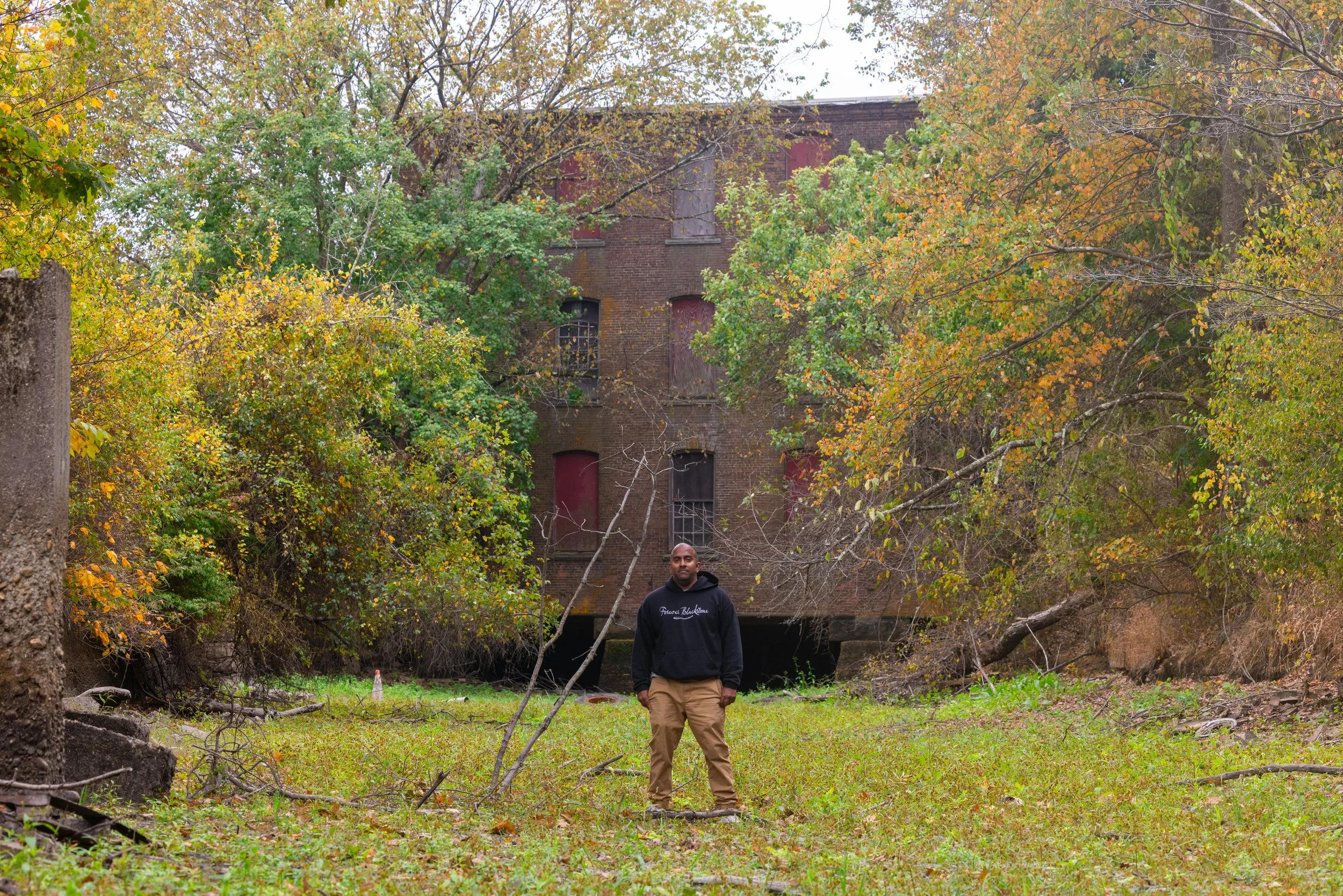
Blackstone Canal Lonsdale & Blackstone River State Park | Active Mill
Every year it happens. The Blackstone drops. You can see it in the photograph. That flat green expanse below the old mill wall where the river used to be, now just a muddy exposed bank and a trickle running somewhere in the middle. It looks like the river gave up. Turns out, this is a problem that goes back two hundred years.
I'm Dave. I make videos about Rhode Island history. And the story of why this river runs low in summer is also the story of why the greatest transportation project in Rhode Island history failed in less than twenty years.
Filmmaker Dave at Valley Falls
Let's go back to 1824.
Providence merchants wanted a direct route to Worcester. Worcester was the trade hub of central Massachusetts, and the roads between the two cities were miserable. The solution seemed obvious. The Blackstone River ran almost the entire distance. All you had to do was make it navigable. Forty-five miles. Forty-nine granite locks. A canal 32 feet wide at the top, 18 feet at the bottom, with the water kept at a working depth of about three and a half feet. The estimated cost was $323,319. They asked for $400,000. They could have raised a million if they'd tried.
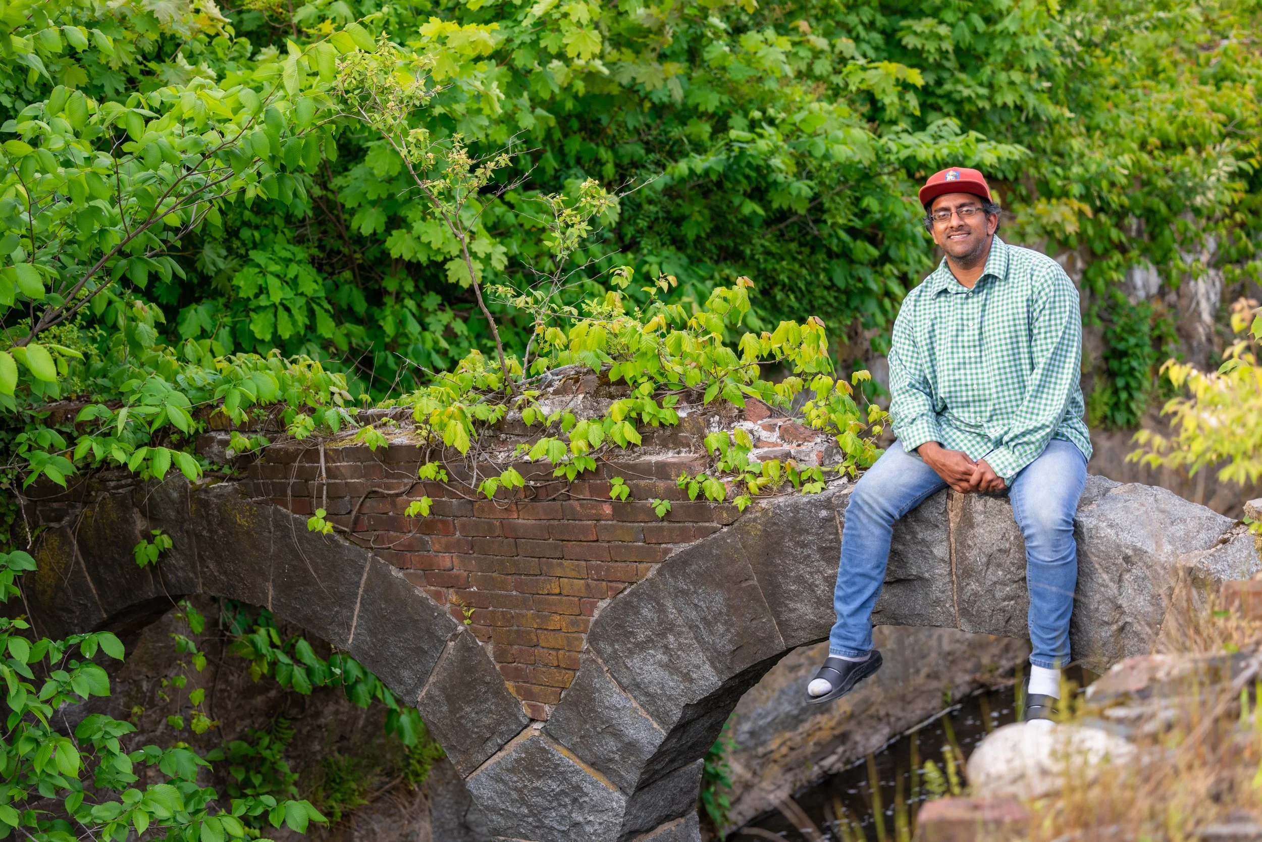
Part of the Blackstone Canal Ruins
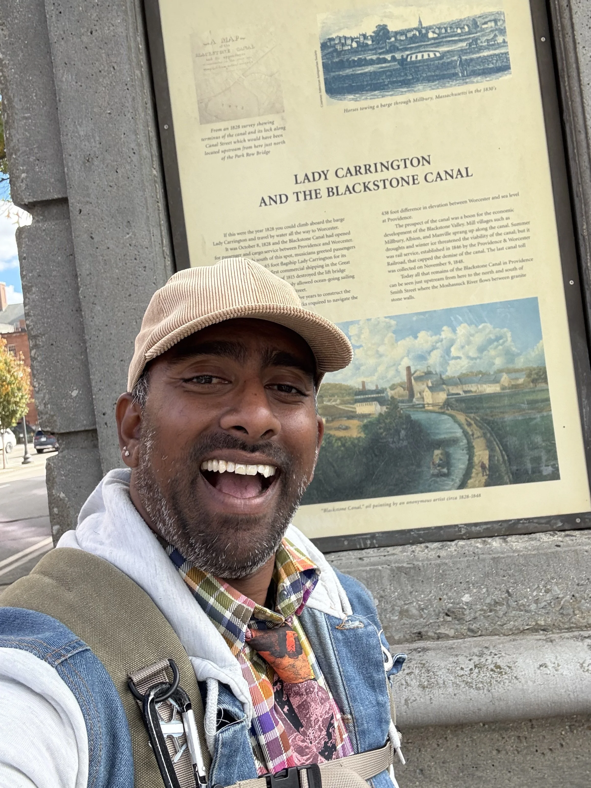
They named the first boat the Lady Carrington. On July 1, 1828, she left the first lock above tidewater on Canal Street in Providence with a salute of artillery and a crowd on the banks cheering her off. The newspapers covered it like a moon landing. Rhode Island had a canal.
And then the problems started.
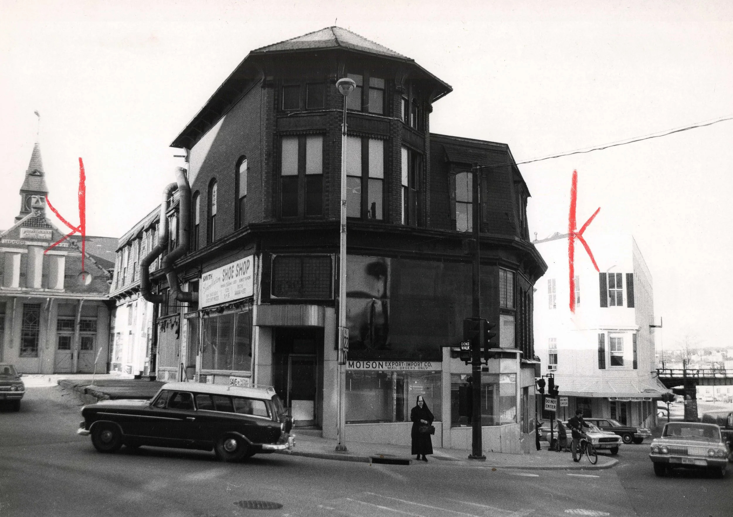
Canal Street Canal Walk Providence, Rhode Island
Here's what the engineers didn't fully plan for. The canal wasn't actually dug the whole way. For parts of the route they just depended on what they called slack water navigation. Using the natural ponds and impoundments along the river itself. That was fine when the water was high. But summer in New England is dry. The Blackstone drops every year, predictably, reliably, like a clock. When it dropped below navigable depth, the loaded canal boats just sat there. Days at a time. Sometimes weeks. You had freight on a boat that couldn't move, merchants who needed their goods, and a canal company that was watching its business model collapse in real time.
Ice in winter was the other killer. You can't run a boat in January on a frozen canal. That's roughly a third of the year gone.
The water fights got ugly. Mill owners along the route had their own water rights. Their headraces were drawing from the same river the canal needed to float its boats. They weren't about to cut production so a barge full of molasses could pass through. Canal boatmen started finding mysterious loads of rocks in the locks. Mill owners claimed it wasn't them. There were threats. Near riots. At one point the boatmen were reportedly threatening to burn mills down.
This is the part that doesn't usually make it into the tourist brochure version.
The thing is, the canal wasn't entirely useless even when it was failing. The reservoirs and ponds they'd built along the route to hold back spring floodwater had a side effect: more consistent water flow in the river downstream. The Blackstone ran stronger because of the canal infrastructure, and that meant more hydraulic power for mills. So the mills along the valley actually benefited from the canal they were simultaneously fighting to drain.
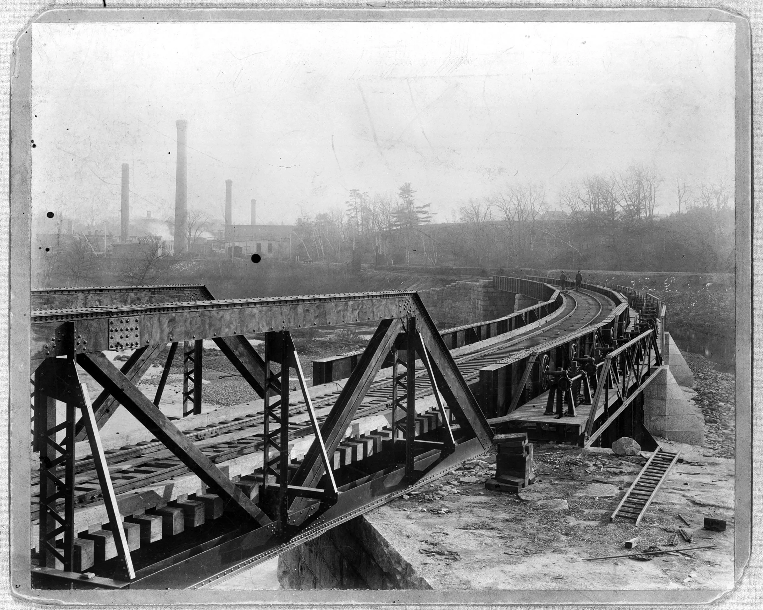
Woonsocket Depot on the Providence Worcester Railroad
In 1848 the Providence and Worcester Railroad finished its run along the same corridor. The comparison was brutal and immediate. The railroad didn't care about summer droughts or winter ice. It moved freight faster and cheaper. By 1848 the canal was already dying. The last toll was collected that year. In 1849 they sold off the locks and land as far as Woonsocket. Someone at the time summed it up perfectly: "of the two unions between Worcester and Providence, the first was weak as water, the last strong as iron."
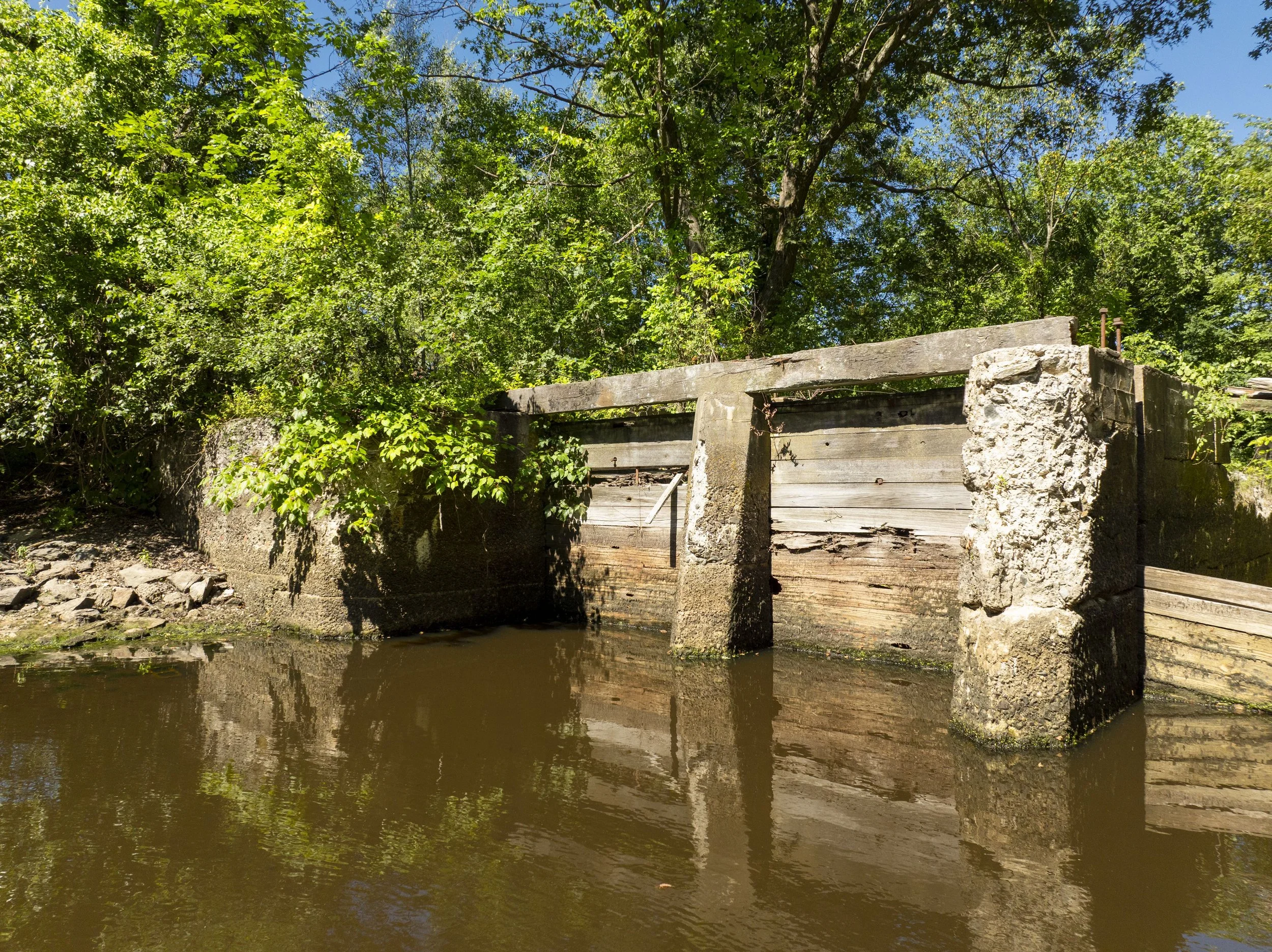
You can still see the canal if you know where to look. It follows along what's now Canal Street in Providence, runs through pieces of Lincoln and Woonsocket, shows up as a broad ditch along Canal Street in Waterford up in North Smithfield. Mostly it's overgrown. Sometimes it's just a low spot in a field that holds water longer than the surrounding ground.
Blackstone Canal north of Roger Williams National Memorial
And the river itself still does what it always did. It drops in summer. August especially. The snowpack is gone, the spring rains are gone, and the Blackstone runs low and slow through the same valley where mill owners once threatened to riot over every inch of it. The exposed rock and mud in my photographs aren't a malfunction. They're the original condition. The condition the canal engineers thought they could engineering their way out of. They couldn't.
Two hundred years of dams and reservoirs and regulated flow have changed the hydrology of this valley significantly. But pull up a current USGS gauge reading in July or August and you'll see flows well below the historical average for this time of year. Low water in the summer is still the baseline. Still the reality.
Rhode Island Historical Society: Pratt Dam
The Lady Carrington made her first run on a July morning. Probably a beautiful morning, probably high water from a wet spring. Nobody on the bank was thinking about August yet. They were cheering.
Follow FilmmakerDave on Facebook and Instagram for more Blackstone Valley dam and water history. If you've got a shot of the river running particularly low this summer, drop it in the comments.